Drone SURVEYs & MEDIA DOCUMENTATION
Welcome to Consortium Engineers, PLLC where we offer cutting-edge aerial surveying and mapping services that push the boundaries of accuracy and precision. Our FAA Part 107 certified drone operators are equipped with years of experience piloting state-of-the-art unmanned aerial vehicles (UAVs) to unlock a world of possibilities for acquiring supremely accurate data. This data empowers our clients with the insights they require to make informed and strategic decisions.
At Consortium Engineers, PLLC we take pride in our profound expertise in:
Accident scene documentation / reconstruction
Agricultural crop monitoring and inspection
Canal surveys
Environmental, industrial & utility surveys
Ice/open water monitoring
Pollution monitoring
Quarries & mining operations – volume computations
Route surveys
Surveying and mapping in dangerous environments, e.g., hazardous waste sites
Topographic mapping & photogrammetry
Wildlife monitoring
Solar Panel Array Inspections
Lidar services
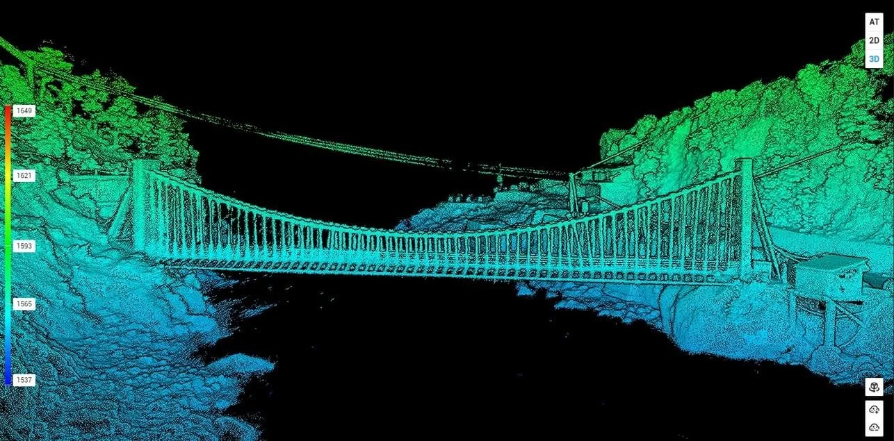
Unleash the power of Light Detection and Ranging (LiDAR) and 3D laser scanning with us. This state-of-the-art technology generates millions of precise data points that seamlessly merge into a unified three-dimensional point cloud opening doors to fly-through modeling, cutting-edge Building Information Modeling (BIM), and the creation of CAD drawings for virtually any project.
Elevating the standard even further, our Aerial LiDAR solution employs high-definition 3D laser scanning delivered through drones and UAVs revolutionizing data collection. This approach not only streamlines the process, but also enriches our service offerings delivering unparalleled value to our clients. Discover how we harness the potential of LiDAR to redefine project visualization and precision.
Benefits of lidAR & 3D laser scanning
Data can be captured through heavy vegetation and tree canopies
Fewer ground control points (GCPs) required for large flight areas
Generate large amounts of highly accurate data in a single flight
Increased safety
Increased accessibility to hard-to-reach areas
Less disruption to surrounding traffic and other activities
Save time in the field and in the processing of the dataset

Drone Image of Construction Site

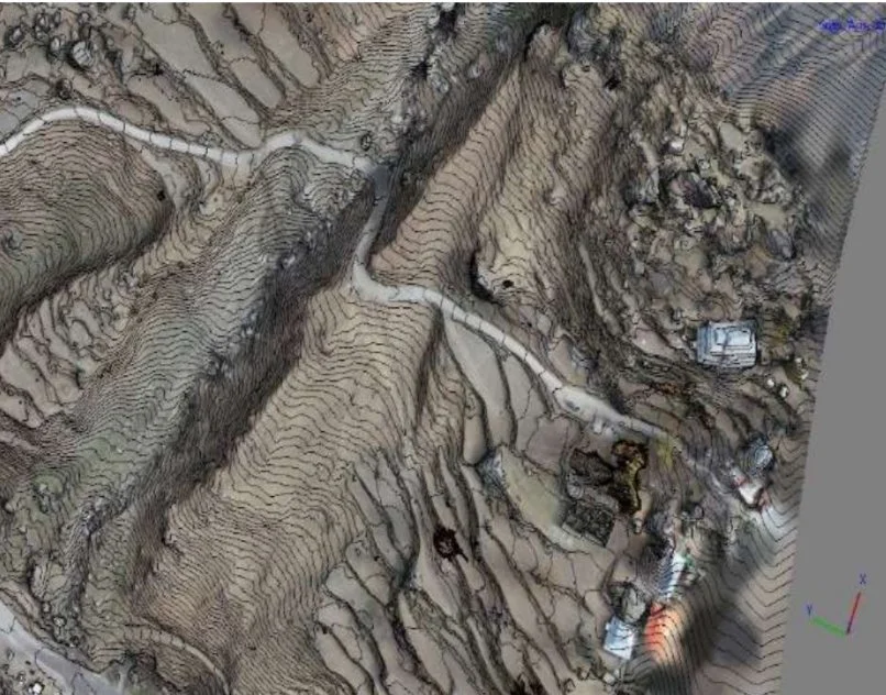
Contour Map of Resort Site

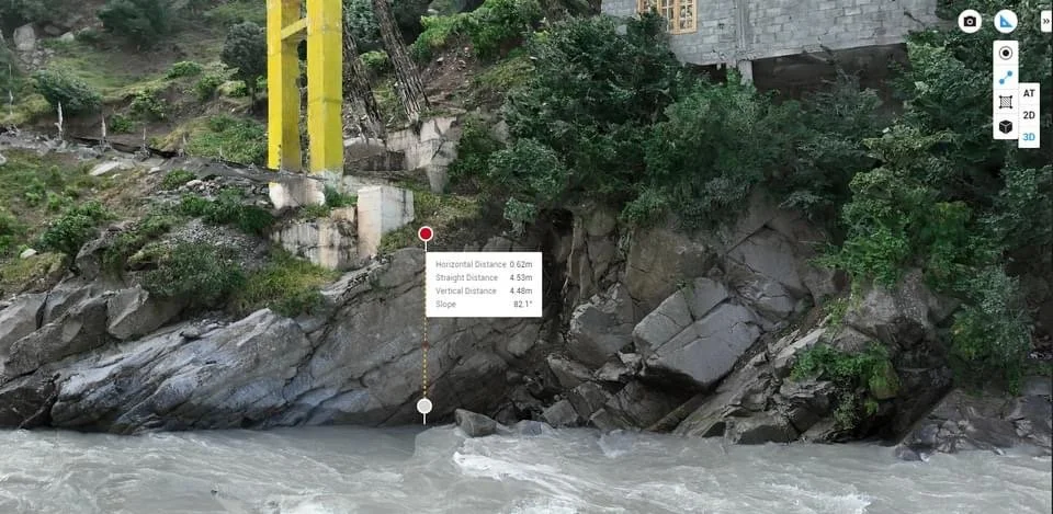
Surface Topography and Structural Review of Bridge Pier

Photogrammetric Analysis of Bridge Site

Solar Panel Assembly Inspections

Crop Health Monitoring
